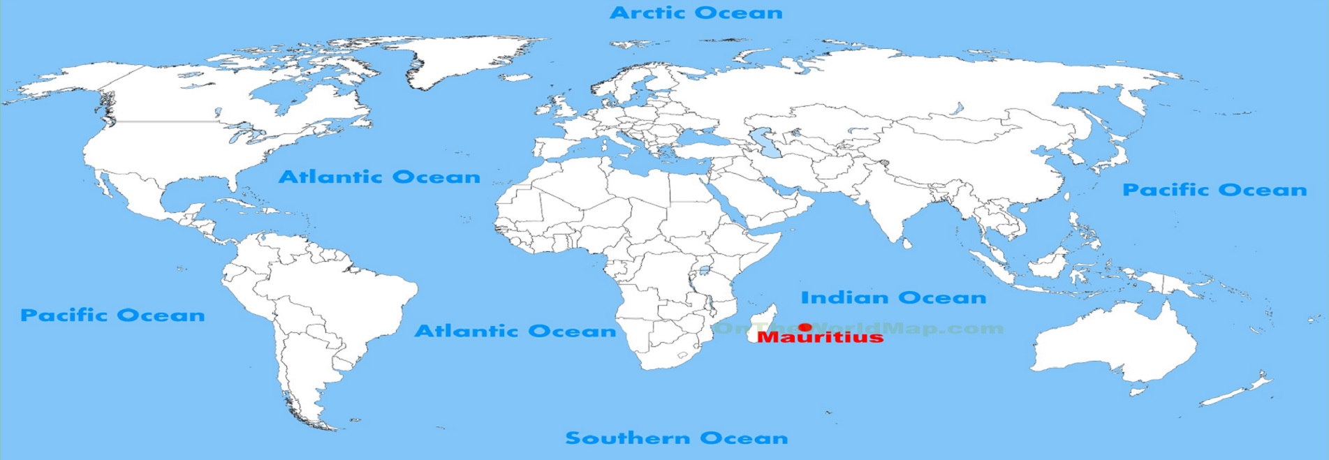
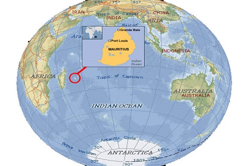
Mauritius Location Map
The location Map of Mauritius Island offering you the location of the island in the world map.
Roads Map of the Island of Mauritius
Here you will find Road maps of Mauritius offering representation of Mauritius many roads, highways, cities and villages. These road maps can be a great aid for navigation while in Mauritius.
Mauritius Holiday Attractions Map
With over 100 different activities, trips and excursions available on the Island, Mauritius is a top holiday destinations offering a range of leisure activities for you to choose from. This map shows the location of some of the main attractions and things to do.
Mauritius Satellite View Map
The Mauritius Satellite view map consists of satellite photographs of Mauritius. The true beauty and the real advantage of the satellite view map is that it offers true live colors of the earth as captured by the satellite.
Mauritius Hospitals and Clinics Map
The Mauritius Hospitals and Clinics map provide a full representation of the health service points available in Mauritius mainland and also on Rodrigues Island.